

Map image
Text version of the map (select to expand or collapse)
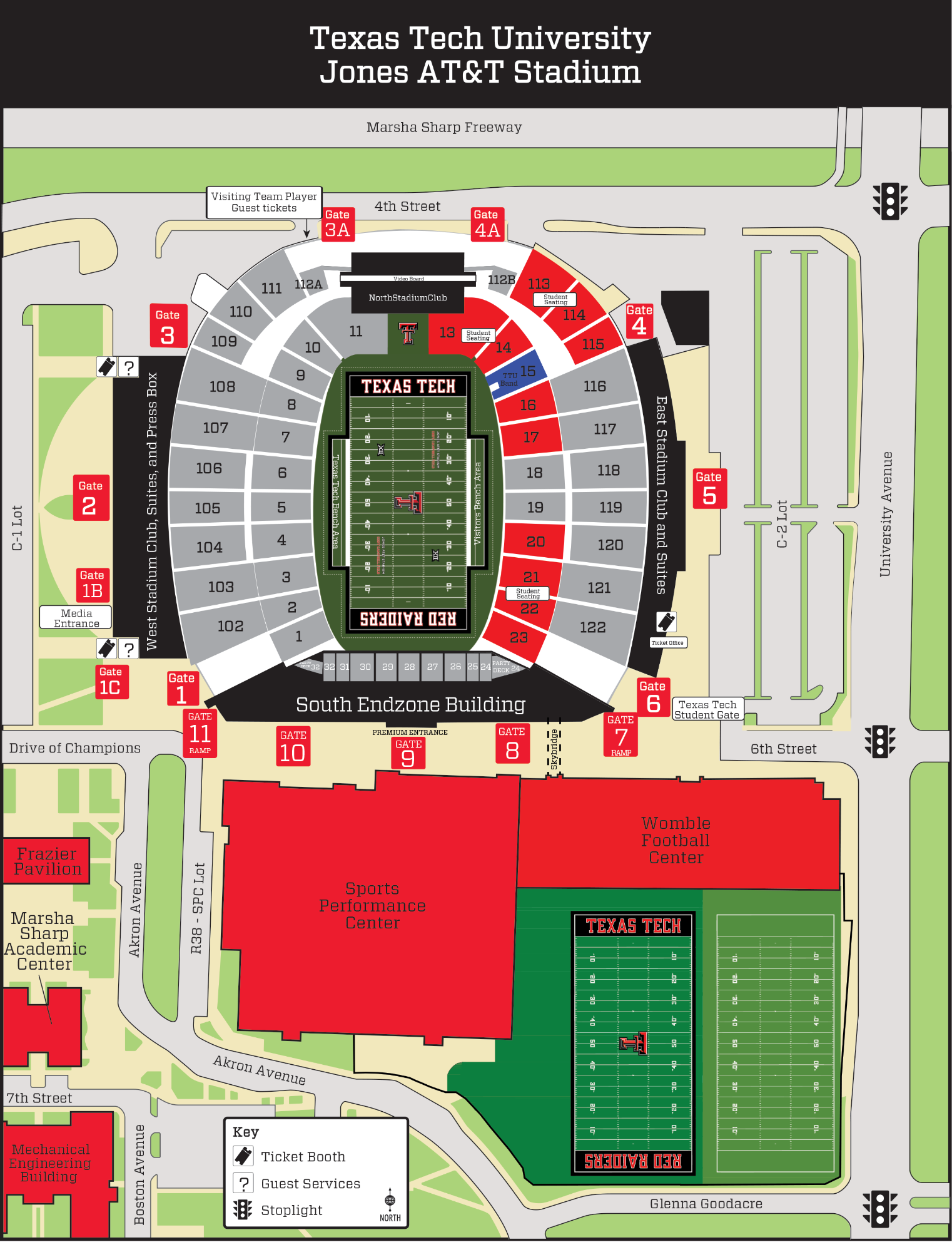
This map shows Jones AT&T Stadium and the surrounding area. Marsha Sharp Freeway runs along the north edge, University Avenue along the east edge, and 6th Street along the south edge (with 4th Street labeled along the north side of the stadium).
Stadium gates are labeled around the venue, including Gates 1, 2, and 3 on the west side; Gate 3A and Gate 4A along the north side near 4th Street; Gates 4, 5, and 6 on the east side near University Avenue; and multiple gates along the south side by the South Endzone Building (including Gates 8–11).
The South Endzone Building is immediately south of the stadium. The Sports Performance Center is south/southwest of the stadium, and the Womble Football Center is south/southeast, next to the football practice fields. Nearby parking areas are shown including a C-1 Lot on the west side and a C-2 Lot on the east side, and a “Visiting Team Player / Guest tickets” area is labeled near the northwest side of the stadium.
The map key indicates icons for Ticket Booth, Guest Services, and Stoplight locations.
Tip: Use your screen reader’s heading navigation to jump between the page title and the map section.