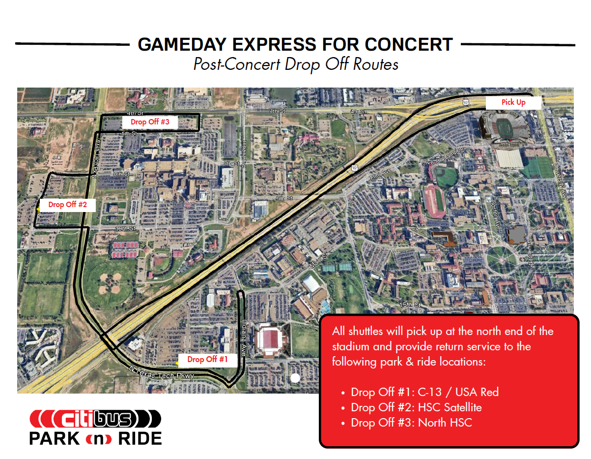
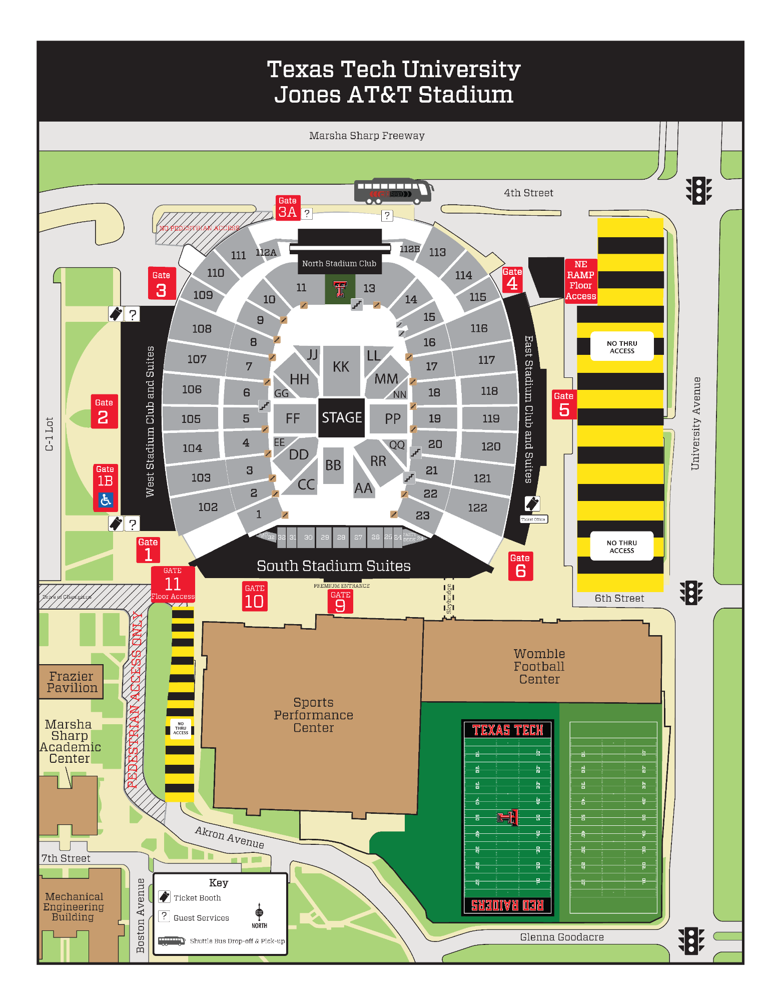
Map 1: Concert Parking Map
This map highlights designated concert parking areas around campus, including marked lots, satellite parking, Arena areas, and Raider Park Garage.
Text version of Map 1 (select to expand or collapse)
- Concert parking areas are shaded in red across the Texas Tech area.
- Labeled parking locations include Satellite parking, Arena parking, Raider Park Garage, and multiple C and R lots.
- Lots specifically marked include C-1, C-4, R-1, R-3, R-5, R-7, R-8, R-9, R-13, R-14, R-18, R-23, and R-24.
- Use the lot labels and surrounding streets to identify the parking area that best fits your arrival route.
Map 2: Ride-Share Drop-Off Map
This map shows the designated ride-share drop-off locations near Memorial Circle on Broadway and the walking route toward Jones AT&T Stadium.
Text version of Map 2 (select to expand or collapse)
- Two designated ride-share drop-off locations are shown near Memorial Circle on Broadway.
- A marked pedestrian route leads from the drop-off area toward Jones AT&T Stadium.
- Guests using ride-share should plan to walk from the drop-off points to the stadium using the indicated route.
Map 3: Jones AT&T Stadium Area Map
This map shows the stadium in concert configuration, with labeled gates, suite areas, shuttle location, ticket booths, guest services, and nearby athletics buildings and streets.
Text version of Map 3 (select to expand or collapse)
- The stadium is shown in concert configuration with the stage positioned on the south side of the field and facing north.
- Seating sections are labeled throughout the stadium bowl, along with the North Stadium Club and the west, east, and south stadium suites.
- Entry locations include Gates 1 through 11, Gate 3A, and northeast ramp floor access.
- A shuttle bus drop-off and pick-up location is marked along 4th Street near Gate 3A.
- Ticket booths and guest services are identified on both the west and east sides of the stadium.
- Nearby landmarks include the Sports Performance Center, Womble Football Center, practice fields, Frazier Pavilion, and the Marsha Sharp Academic Center.
- Surrounding roads shown include Marsha Sharp Freeway, 4th Street, 6th Street, 7th Street, Akron Avenue, University Avenue, Boston Avenue, and Glenna Goodacre Boulevard.